Brooks – Alaskan Scientist, Explorer and Historian


Alfred Hulse Brooks was born on July 18, 1871 in Ann Arbor, Michigan and graduated from  Harvard in 1894.  He loved geology and exploring and so, in the gold rush, came to Alaska. He photographed many communities including Skagway – all of the photos are at the Yale Library Collection (which is odd considering he went to rival University, Harvard).

In 1898, the federal government announced a systematic topographic and geologic survey of Alaska that would include renewed exploration of the Brooks Range. Brooks, as new head of the Alaskan branch of the  USGS, called the project “far more important than any previously done,” due in large part because it “furnished the first clue to the geography and geology of the part of Alaska north of the Yukon Basin.” Between 1899 and 1911, six major reconnaissance expeditions traversed the mountain range, mapping its topography and geology and defining the patterns of economic geology so important to prospectors and miners.   He is credited with discovering that the biggest mountain range in Arctic Alaska was separate from the Rocky Mts. The range was named for him – The Brooks Range.

He served as chief geologist for Alaska for the United States Geological Survey until his death in 1924.  Every year from 1904 to 1916 and from 1919 to 1923, Brooks wrote summaries of Alaska’s mineral industries. The missed years, during World War 1 were those that he spent in France as chief geologist for the American Expeditionary Force in France.  He died  on November 22, 1924 and is buried in Washington D.C. at the Oak Hill Cemetery. I love the inscription on his grave:


Wikipedia; findagrave; Hunt, “NPS Golden Places,”  page 56.
An uncommon silence

Mt Blackburn about 10 miles from the base of Muir Glacier apparently “erupted” on April 10, 1902. A geologist, J.C. McFarland who happened to be nearby stated:
“On April 11 at about 7:30 in the morning the air about me became oppressive with a distinct and uncommon silence. In my wanderings through different wilds I had become used to many strange freaks of nature, but this one appalled me. I was in a rough mountainous country, I should judge about 10 miles from the base of Mount Blackburn, in Southeastern Alaska, not far from the starting point of a glacier called Muir Glacier. Suddenly the earth beneath my foot shook, a low rumbling sound accompanied the quaking. I glanced up at Mount Blackburn. Instantly it seemed as though the peak had opened; a cloud of ashes and smoke shot out into the air several hundred feet, and then there seemed to flow from the opening in the top a stream of dirty stuff mixed with large and small boulders. This continued only for about ten minutes then ceased as suddenly as it had begun.
It was three days after many perilous attempts before I succeeded in reaching the base of the mountain. Then I discovered that the country for miles around had been affected. The small undergrowth of the trees had been entirely covered. This stuff which poured from the top of the mountain was not even warm, but seemed to consist purely of dust rocks and other substances. As far as I can discover this mountain had never been considered of a volcanic nature.”

The official story is that the last time Mt Blackburn erupted was 3-5 million years ago. The 1902 incident was probably just a geologic burp.

New York Times, June 3, 1902

Magnetic Pole at Skagway


In 1903 Professor Samuel Jackson Barnett of Stanford University stated that his extensive studies with USGS on the coast in the Skagway area determined that there is a magnetic pole here!
Reported in the Philadelphia Record:
“The party made a special investigation in the peculiar magnetic disturbances which have made navigation difficult in certain localities. Near Skagway the disturbances are very severe the deflection of the needle being so great that the compass is rendered almost useless in that vicinity. It was found that this strange state of affairs was due to the abundance of magnetic rock in the locality. This rock is present in immense quantities on Douglas Island and on the mainland and near Skagway. Professor Barnett says that there was almost a perfect magnetic pole at that point.”

Hmmm, a perfect vortex of inestimable value!

Philadelphia Record, September 12, 1903

Deadly Glacial Outburst


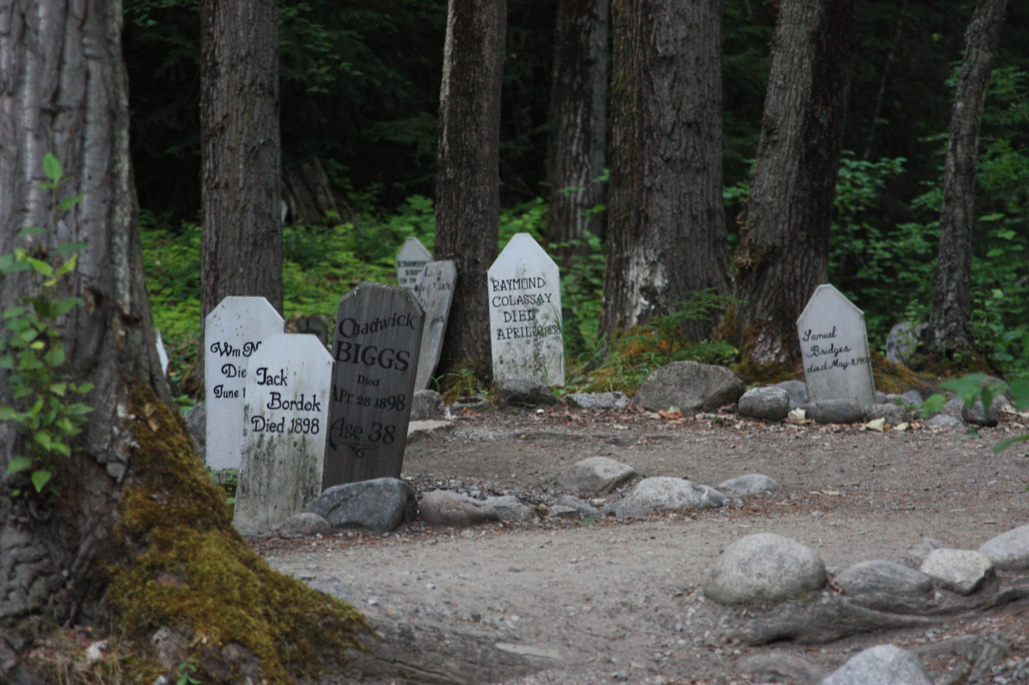
On this date in 1897 there was a glacial outburst of the lateral moraine of the glacier near Sheep Camp on the Chilkoot Trail. This caused a tremendous flood which carried 7 people away. Among those drowned were Aaron M. Choynski and his friend Flynn. Aaron was the brother of Joe Choynski, a nationally known prizefighter. Also killed were Mr and Mrs Crockett who ran a restaurant at Sheep Camp and three unknown persons.
In June 2002 there was another glacial outburst of the West Creek Glacier which caused damage in Dyea. A jökulhlaup is a glacial outburst flood, something that happens when a moving glacier forms a dam. Because ice makes a poor dam, being lighter and softer than rock, the water behind the dam eventually breaks through.